Bus access only.
The interior of the park is protected. A fourteen-kilometre road winds between craters, lava tongues and absolute silence. Narration in five languages. Book in advance → Daily capacity is capped.
Also known as the Mountains of Fire Park, it's one of Spain's most visited national parks — over 1.5 million visitors a year. Fifty-one square kilometres of volcanic landscape in southwestern Lanzarote, created between 1730 and 1736 during six years of uninterrupted eruptions. Thirty craters, rivers of petrified lava, ground that reaches 600 °C at thirteen metres deep. One of few places on Earth where you see inside the planet from outside.
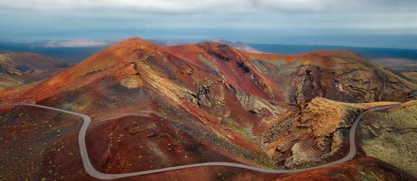 Red craters, aerial view
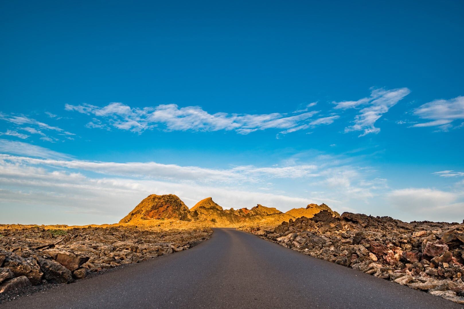 Lava road at dawn
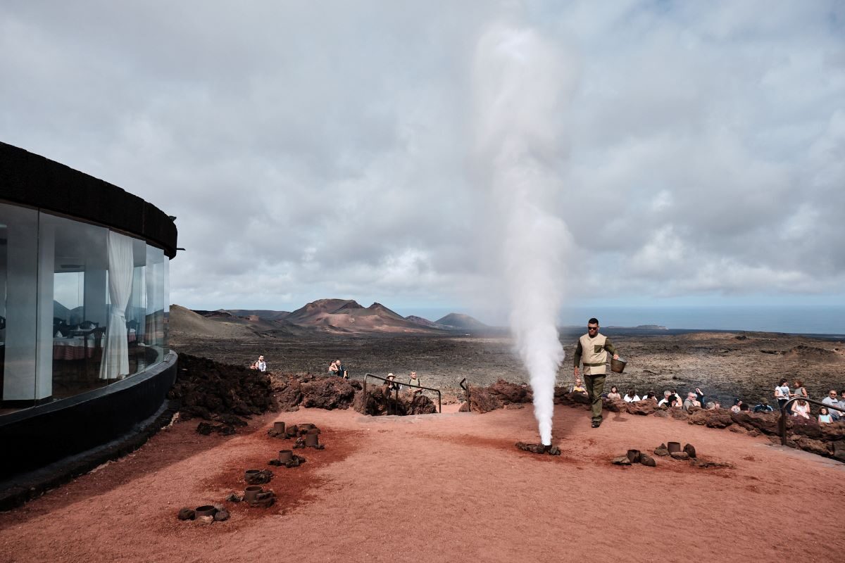 Geothermal demonstration at El Diablo
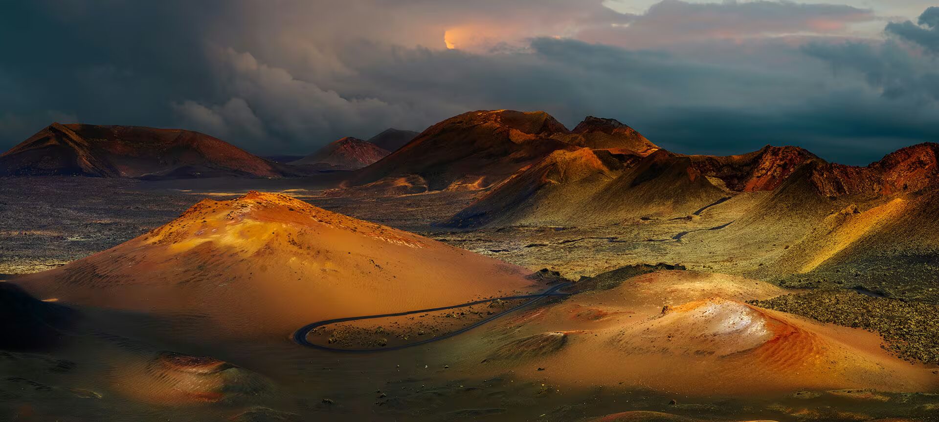 The landscape from above
The interior of the park is protected. A fourteen-kilometre road winds between craters, lava tongues and absolute silence. Narration in five languages. Book in advance → Daily capacity is capped.
The guide pours water into a hole. Seconds later a column of steam shoots up. In another demonstration, dry hay catches fire in mid-air without a flame near it. Here, underground heat is not the past.
Restaurant designed by César Manrique above a crater chimney. The grill is heated by geothermal heat — no gas, no electricity. Lamb, chicken, roast vegetables cooked by the Earth's original fire. Few tables on the planet like it.
At the park entrance, a caravan of dromedaries still climbs Camel Mountain as it did in the 19th century. Fifteen minutes on the animal, memories forever. Running since 1854.
Timanfaya district. Clear skies and low humidity — the geothermal subsoil isn't felt above ground, but the bare lava amplifies the day/night contrast.
Thirty-five minutes from Tinaguache. Best early morning — the light grazes the lava and turns it to gold.